You are here:
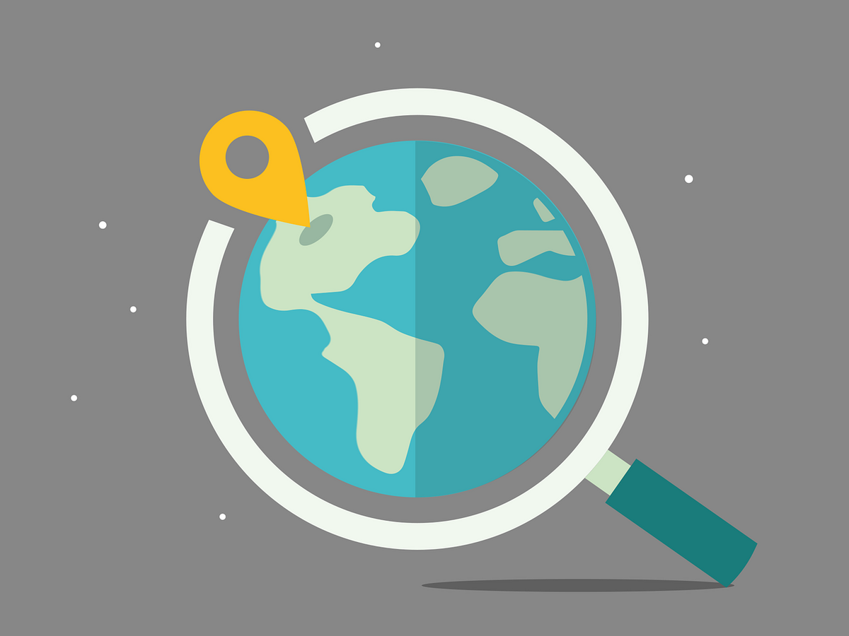
Geographical Information System (GIS) is powerful in managing, analysing and mapping georeferenced data of any scientific discipline.
Contents
Basics of mapping with Geographic Information Systems (GIS)
Outcomes
Application of GIS software in order to work with your own data.
Prior knowledge
---
Requirements
When?
23.11.2021, 09:30 - 16:00
24.11.2021, 09:30 - 16:00
25.11.2021, 09:30 - 16:00
Where?
Lecture room-based (MARUM, Room 2070)
Language?
English
Senior GIS Scientist at the Alfred Wegener Institute, Helmholtz Centre for Polar and Marine Research (AWI)